Berkeley County SC GIS Mapping 1.2
Free Version
Publisher Description
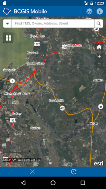
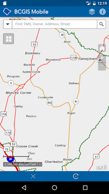
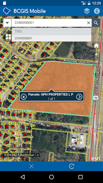
The Berkeley County SC GIS Mapping Mobile app provides basic and easy access to Berkeley County South Carolina GIS information on mobile devices. You can search by TMS number (PIN), owner name, address and street name. Also, you can enable the display of your coordinates based on the center of the map. In addition, Berkeley County GIS Mapping Mobile app provides access to our 2014, 2011, 2009, 2006, 2004, 1999 and 1995 aerial photography.
Map data is accessed from Berkeley County’s local GIS server. ArcGIS API for JavaScript and ArcGIS Online data is accessed from various ESRI servers. Performance and load times will vary depending on network speed. Please be patient. Data is updated weekly.
Mapping API provided by Esri's ArcGIS API for JavaScript and ArcGIS Online.
The application may be further developed in the future.
DISCLAIMER:
THE COUNTY OF BERKELEY AND ITS GIS DEPARTMENT DISCLAIMS ACCOUNTABILITY FOR THIS PRODUCT AND MAKES NO WARRANTY EXPRESS OR IMPLIED CONCERNING THE ACCURACY THEREOF. RESPONSIBILITY FOR INTERPRETATION AND APPLICATION OF THIS PRODUCT LIES WITH THE USER.
About Berkeley County SC GIS Mapping
Berkeley County SC GIS Mapping is a free app for Android published in the PIMS & Calendars list of apps, part of Business.
The company that develops Berkeley County SC GIS Mapping is Bo Castillo - Berkeley County GIS. The latest version released by its developer is 1.2.
To install Berkeley County SC GIS Mapping on your Android device, just click the green Continue To App button above to start the installation process. The app is listed on our website since 2017-12-01 and was downloaded 35 times. We have already checked if the download link is safe, however for your own protection we recommend that you scan the downloaded app with your antivirus. Your antivirus may detect the Berkeley County SC GIS Mapping as malware as malware if the download link to gov.berkeleycountysc.gis.bcgis_mobile is broken.
How to install Berkeley County SC GIS Mapping on your Android device:
- Click on the Continue To App button on our website. This will redirect you to Google Play.
- Once the Berkeley County SC GIS Mapping is shown in the Google Play listing of your Android device, you can start its download and installation. Tap on the Install button located below the search bar and to the right of the app icon.
- A pop-up window with the permissions required by Berkeley County SC GIS Mapping will be shown. Click on Accept to continue the process.
- Berkeley County SC GIS Mapping will be downloaded onto your device, displaying a progress. Once the download completes, the installation will start and you'll get a notification after the installation is finished.
